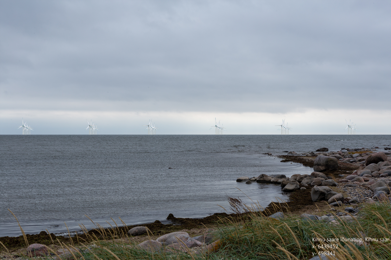
Environmental Impact Assessment
Currently, the development of the wind farm is in the environmental impact assessment phase where
the environmental research company Skepast&Puhkim OÜ is assessing the possible significant
environmental and cumulative impacts associated with the construction and operation of the
offshore farm.
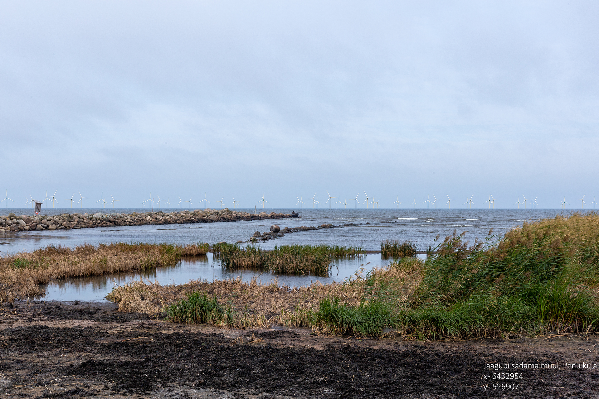
Environmental impacts, such as possible processes on the seabed, including biota, waves,
ice-related risks and sediments are analyzed. As well as impacts on fish, birds, bats and
mammals. Separate studies are planned for noise, vibration, low frequency sounds and turbulence.
The socio-economic impact and safety of the wind farm are also assessed as a whole.
The environmental impact assessment will take more than two years, and its final report will show
which wind turbines can be built in this marine area; whether and what the potential dangers are
and how to mitigate them.